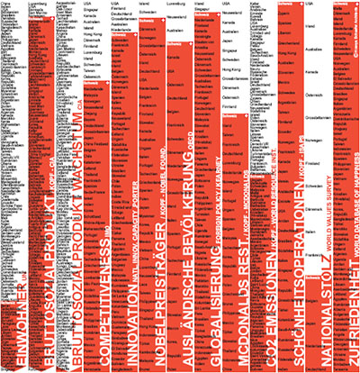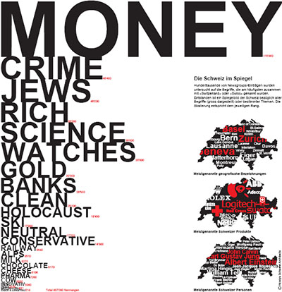

a large collection of beautiful maps based on data related to Switzerland & printed on large 2mx2m panels. these infographics are part of an attempt to find new ways to describe the identity of Switzerland ranging from the scientific to the artistic. “visualizations can help to propose new ways of thinking. they can help to see oneself not only in the historically grown context but also in the flux of globalization. the graphic language of the maps, based on the density of information used in an atlas, is meant to go beyond the straightforward transfer of information & to evoke associations & open up space for fantasy”.
Maps are created by Studio HosoyaSchaefer
Weltwoche newspaper article about the exhibit (german)
(via infosthetics) thank you Jennifer!
[…] to put a smile on my face when she makes references to the Swiss way of life (i.e., language, data, food). Anyone who has worked or travelled in Switzerland will understand what I […]
Sep 10th, 2010 / 10:02 am